A national park at sea as much as on land
The Calanques National Park was created by decree no. 2012-507 of 18 April 2012. It does not stop at the shoreline: its rules also apply at sea, and that is often where people discover them, on the day they would like to drop anchor at the foot of a cliff.
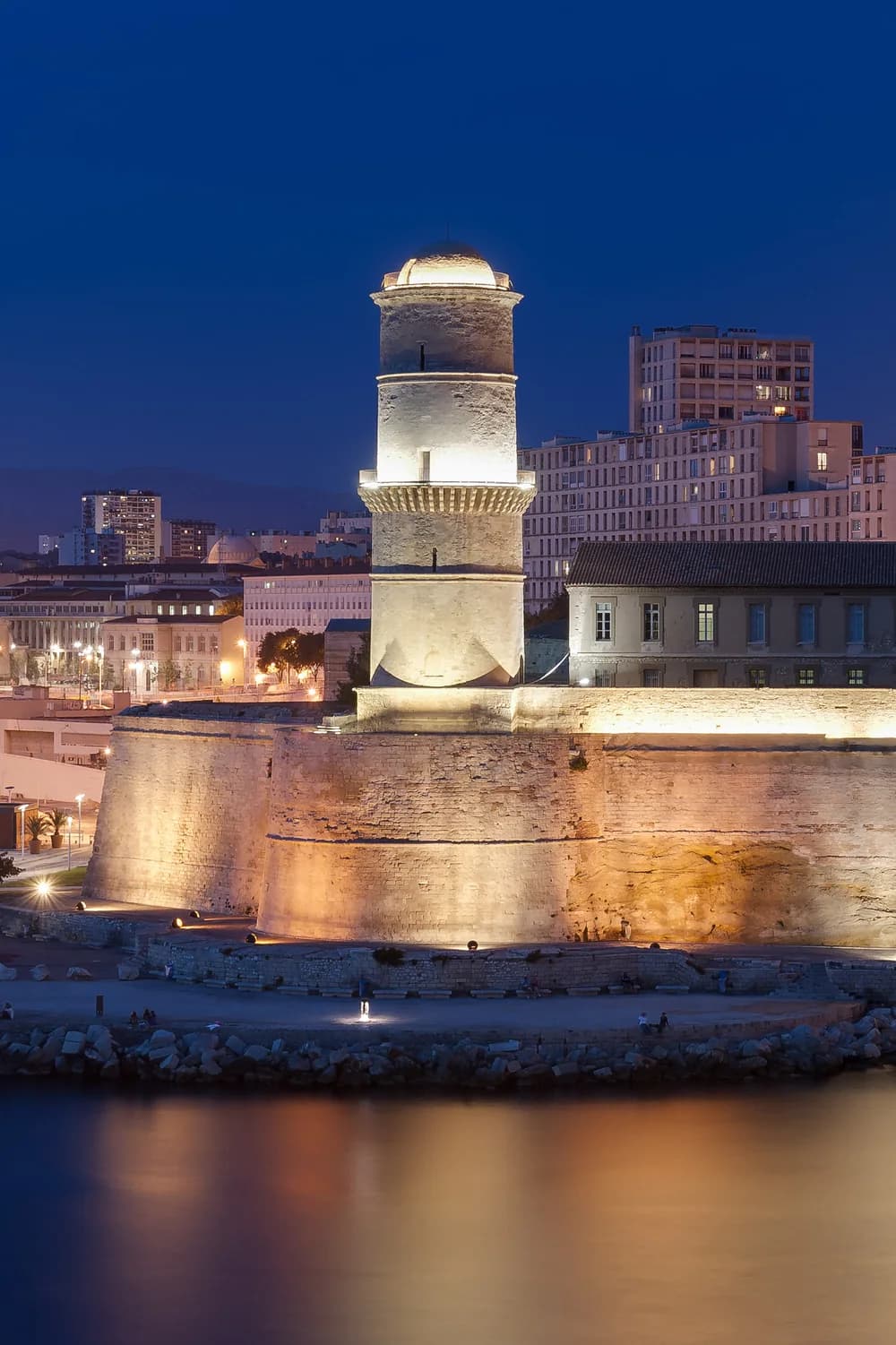
The Frioul archipelago is part of it. Its four islands, Pomègues, Ratonneau, If and Tiboulen, are reached by boat from the Old Port, and the park points out that their natural environment is particularly fragile.
Below the surface, seven no-take zones cover 10% of the park’s marine area: all fishing is permanently banned there. Everywhere, it is also forbidden to dump waste, to disturb or feed marine wildlife, and to collect protected species.
These rules do not close the sea. They tell you how fast to approach, where to stop and where to look from. Knowing them before you set off means knowing what a day can really give you, and sparing yourself a disappointment on the water.
Sailing: the 300-metre strip and speed
Within the 300-metre coastal strip, speed is limited to 5 knots. Jet skis and towed activities, such as water-skiing or parasailing, are banned in the park.
Since 23 April 2026, an order of the Maritime Prefect for the Mediterranean, no. 102/2026, also limits speed to 10 knots beyond the 300 metres, within a radius of one nautical mile around Cap Croisette, towards the north-west. This passage is the main gateway to the calanques of Marseille and Cassis, and summer concentrates the traffic there.
Passenger transport inside the park is reserved for vessels admitted by the park authority: they can be recognised by their flag and the orange sticker on their hull.
Yellow buoys mark the limits of regulated zones: you do not moor to them. White buoys are ecological moorings, and on most of them divers have priority.
Anchoring: En-Vau, Port-Pin and the buoys
In December 2020, the park adopted an anchoring plan made up of 49 measures. It protects the Posidonia seagrass, which the park describes as irreplaceable in the Mediterranean and which anchors tear up, while organising the different uses of the sea.
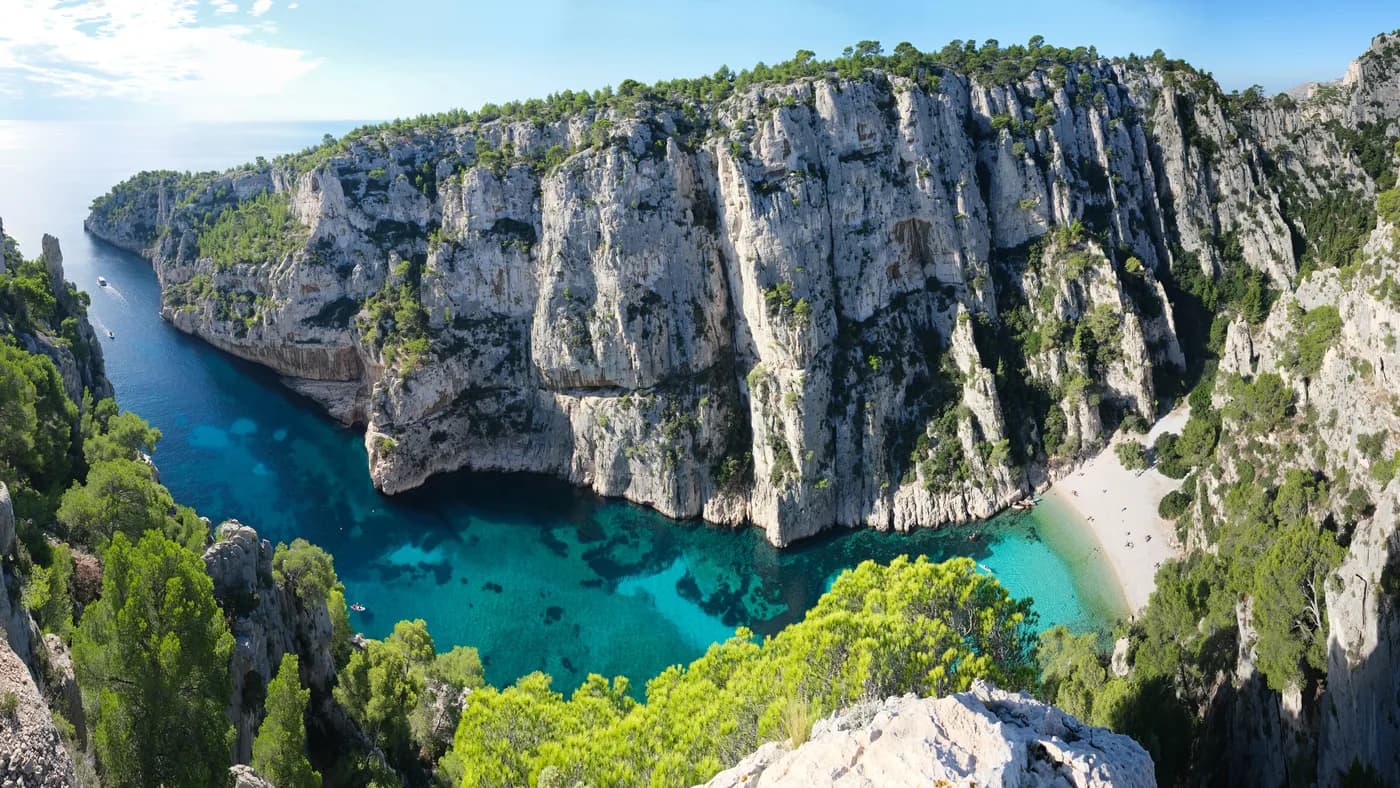
The two most fragile calanques no longer receive any anchoring: at En-Vau and Port-Pin, dropping anchor is banned. The park’s regulatory leaflet also bars vessels over 20 metres from entering them, except admitted passenger transport, and bars any motor craft from the inner end of these two calanques.
Elsewhere, anchoring is concentrated on sandy seabeds, around the Frioul, north of Riou or in the bays of Cassis and La Ciotat. Where sand is lacking, boats moor to buoys: at Sormiou, at Morgiou, west of Pomègues and in the bay of La Ciotat. Vessels over 24 metres anchor further offshore, beyond the seagrass meadows.
Three orders of the Maritime Prefect, signed on 20 May 2021 in La Ciotat, gave these choices the force of law: one for vessels over 24 metres, from the Frioul to the bay of La Ciotat, the other two for pleasure-craft anchoring along the coasts of Marseille and Cassis.
Flying over: the one-thousand-metre rule
The decree that created the park bans, unless the director of the public body grants an exemption, any overflight of its core area below one thousand metres above ground by a motorised aircraft. Two cases are excluded: approaches to Marseille Provence Airport, and a transit route La Ciotat, Cap Croisette, Carry-le-Rouet, flown at no less than five hundred metres and one nautical mile away from the land areas of the core.
Exemptions are reserved for specific missions: public service, scientific research, maintenance of facilities, works, filming accepted by the park. Over the Riou archipelago, none is possible below 150 metres. Recreational drones are banned throughout the park below one thousand metres.
Free flight is not ruled out for all that: paragliding and hang-gliding are regulated by the park director and take off and land only at established sites with the landowners’ consent. Two biotope orders restrict them further: no overflight below one thousand metres above the Muraille de Chine, and no take-off or landing in the Vallon de Toulouse.
A helicopter flight out of Marseille remains possible, but it does not promise to skim the cliffs: the operator selected sets the route and the height, in keeping with these rules. Seen from above, the coast loses none of its beauty; it is simply admired from further away.
Summer: fire risk and going ashore
From 1 June to 30 September, access to the hills depends on the daily fire risk. The next day’s level is published at around 6 pm, hill range by hill range, by the Bouches-du-Rhône prefecture, and the park’s Mes Calanques app relays it.
On days classified red, land access to the park is banned and the Route des Crêtes is closed. Boat trips remain possible, but going ashore is strictly forbidden.
At sea, the day therefore changes little, on one condition: do not count on a beach or a footpath for lunch. The programme is built on board, and checked the evening before. On the prefecture’s website, the Calanques are followed as three hill ranges: Calanques, Cap Canaille and Grand Caunet.
Preparing a day at sea or a flight
What these rules leave is already a great deal: running along the cliffs at a gentle pace, discovering En-Vau from offshore, mooring to a buoy at Sormiou or Morgiou, reaching the Frioul islands, returning to port in the evening light.
The rules evolve. The Cap Croisette order dates from April 2026 and the park updates its documents: before departure, the version in force is what counts, and it is up to the operator selected to apply it.
For a yacht, a helicopter or a private jet, the Federation puts you in touch with the operator selected, who sails or flies under their own responsibility. A chauffeur who is a member of the Federation handles the drive to the port or the terminal, then the return.
A fine day at sea often comes down to small things: an early start, when the light grazes the white rock, a stop chosen according to the wind, an unhurried return. These are the details settled in advance, with the operator for the sea and with the chauffeur for the land.
To plan a trip at sea, a flight and the drives around them: Yacht, helicopter and private jet